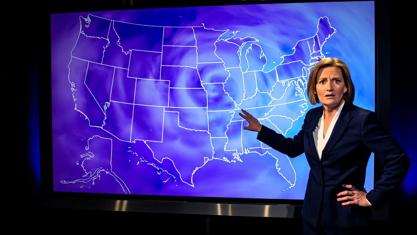
A powerful winter storm system is barreling toward the northeastern United States this weekend, with meteorologists warning that nearly half the nation’s population faces potentially dangerous weather conditions. The National Weather Service has issued winter storm warnings and watches across multiple states as forecasters predict snowfall totals that could reach 16 inches in New York City and surrounding areas.
The storm, which weather experts are describing as a significant weather event, is expected to impact approximately 160 million Americans from Friday evening through Sunday. The most severe conditions are anticipated across the Interstate 95 corridor, where major metropolitan areas, including Washington, D.C., Philadelphia, New York City, and Boston, could experience heavy snowfall combined with strong winds.
Forecast Details and Regional Impact
Current meteorological models show the storm system developing rapidly as it moves up the Eastern Seaboard. New York City, which has experienced relatively mild winter conditions in recent weeks, now faces the possibility of receiving between 12 and 16 inches of snow, marking one of the most significant snowfall events of the winter season.
The storm’s impact extends well beyond the immediate New York metropolitan area. Philadelphia could see accumulations of 8 to 14 inches, while Washington, D.C., is expected to receive 6 to 10 inches. Boston and the surrounding areas in Massachusetts face similar totals, with some outlying regions potentially seeing even higher accumulations.
Weather forecasters emphasize that the storm’s track remains crucial in determining final snowfall totals. Even a slight shift in the storm’s path could significantly alter accumulation amounts across the region. Areas that fall on the northern edge of the storm system typically experience the heaviest snowfall, while locations on the southern periphery may see a mix of snow, sleet, and freezing rain.
Transportation and Infrastructure Concerns
Transportation officials across the Northeast are preparing for widespread disruptions to air, rail, and highway travel. Major airports, including John F. Kennedy International, LaGuardia, Newark Liberty International, and Philadelphia International, are likely to experience significant delays and cancellations throughout the weekend.
Amtrak has announced potential service modifications along the Northeast Corridor, the nation’s busiest passenger rail line connecting Boston, New York, Philadelphia, and Washington. The railway system typically reduces speeds during heavy snow events and may suspend service entirely if conditions become too hazardous.
State transportation departments have begun pretreating roadways with salt and brine solutions, while snow removal crews are positioned for rapid deployment once the storm begins. However, officials warn that even with preparation, travel conditions will likely become treacherous as snow accumulates faster than plows can clear major thoroughfares.
Emergency Preparedness and Public Safety
Emergency management officials are urging residents to complete storm preparations immediately, emphasizing the importance of having adequate supplies before conditions deteriorate. Essential items include non-perishable food, water, flashlights, batteries, and any necessary medications.
Power outages remain a significant concern, particularly if the storm produces wet, heavy snow combined with strong winds. Utility companies across the region have positioned crews and equipment to respond to outages, though restoration efforts may be hampered by ongoing storm conditions.
The timing of the storm, arriving over a weekend, may actually benefit some communities by reducing the number of commuters on roadways during the height of the event. However, this advantage could be offset by increased recreational travel as residents venture out despite dangerous conditions.
Historical Context and Climate Patterns
This weekend’s storm represents a departure from the relatively mild winter weather pattern that has characterized much of the 2025-2026 winter season across the Northeast. January temperatures have generally remained above historical averages, making the approaching storm system particularly notable.
Meteorological analysis suggests that the storm is developing due to a specific atmospheric pattern that brings Arctic air masses into contact with moisture-laden systems from the south. This collision of air masses creates the dynamic conditions necessary for heavy snowfall across the region.
Senator Ted Cruz (R-Texas) was spotted earlier today, January 20, 2026, on a plane heading to Laguna Beach as the state of Texas braces for a rare ice threat and arctic cold front. pic.twitter.com/lVTcqP8LR4
— Shea Jordan Smith (@shea_jordan) January 21, 2026
Weather records indicate that storms of this magnitude typically occur once or twice per winter season in the Northeast. However, the exact timing and geographical extent can vary significantly, making each major storm event unique in its impacts and challenges.
Economic and Social Implications
The economic impact of major winter storms extends far beyond immediate snow removal costs. Retail businesses, restaurants, and service industries typically experience reduced revenue during severe weather events as consumers remain home. The timing during a weekend may limit some of these economic impacts on weekday business operations.
Healthcare systems are also preparing for storm-related challenges, including potential increases in weather-related injuries and the need to maintain essential services despite transportation difficulties. Hospitals and emergency services have implemented protocols to ensure adequate staffing throughout the storm period.
Educational institutions, while already closed for the weekend, are monitoring conditions to determine whether Monday operations might be affected if cleanup efforts extend beyond the immediate storm period.
Long-term Weather Outlook
Following the weekend storm, meteorologists indicate that the weather pattern may remain active across the Northeast, with additional systems possible in the coming weeks. However, none of the currently tracked systems appear to have the same intensity or widespread impact as this weekend’s event.
Temperature forecasts suggest that cold conditions will persist following the storm, which may help preserve snow cover but could complicate cleanup efforts. The extended cold pattern also increases the likelihood of icy conditions developing on treated and untreated surfaces.
As communities across the Northeast prepare for this significant winter weather event, the emphasis remains on public safety and adequate preparation. Residents are advised to monitor local weather forecasts closely, as conditions can change rapidly during major storm systems. The combination of heavy snowfall, strong winds, and cold temperatures creates a particularly challenging set of circumstances that requires both individual and community-wide preparation and response efforts.

